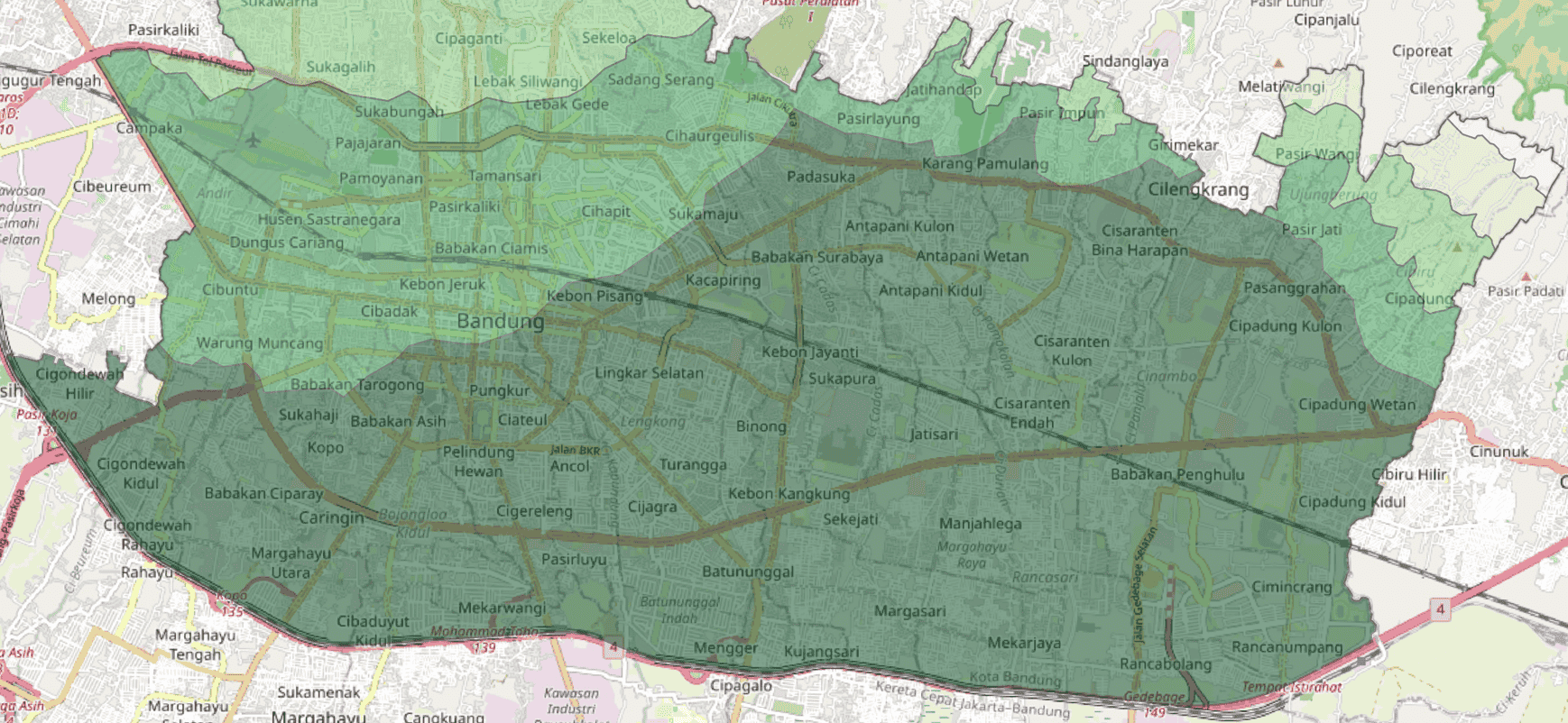
Bandung Flood Risk Scoring
This project analyzes flood vulnerability in Bandung City using a spatial scoring approach integrated with GIS and Python. Five key parameters (rainfall, land use, slope, elevation, and soil texture) were scored based on their contribution to flood risk. Spatial overlay analysis was performed in QGIS to generate flood vulnerability zones, while Python was used for exploratory data analysis and clustering to identify spatial patterns. The results are presented as flood vulnerability maps that support urban planning and disaster mitigation efforts.
Tech Stack
QGISPythonGeoPandasscikit-learn
Skills Utilized
Spatial Data AnalysisData VisualizationFlood Vulnerability Mapping
 View on GitHub